Artificial Intelligence monitors beaches for coastal erosion, and analyzes the data to allow for progressive monitoring.
01
Coastal erosion is a present and future threat
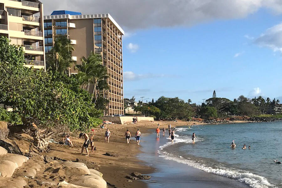
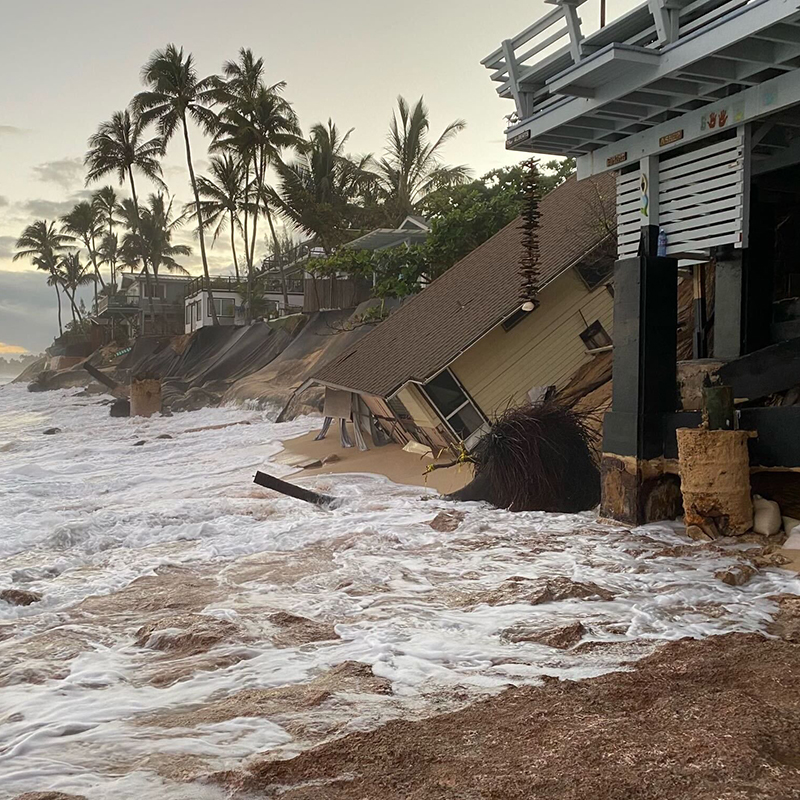
Recently, Oahu’s North Shore has experienced rapid shoreline retreat, with several homes already collapsing into the ocean. The Climate Resilience Collaborative’s 2022 Annual Report notes that 13 miles of Hawaii’s beaches have already disappeared, and 70% of beaches on Oahu, Kauai, and Maui are experiencing chronic erosion. Projections suggest that sea levels could rise by 10 inches by 2050 and by up to 2 feet by 2100, further intensifying the coastal erosion crisis.
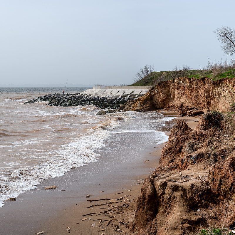
Coastal erosion occurs when coastlines are gradually worn away by natural forces. Rising sea levels, strong coastal currents, human activities such as construction, and severe weather events like storms and high tides all contribute to this process. Climate change has exacerbated these factors, with warmer global temperatures accelerating glacial melt, which in turn contributes to rising sea levels and intensifies storms.
02
iBeach monitors and reviews coasts for irregularities
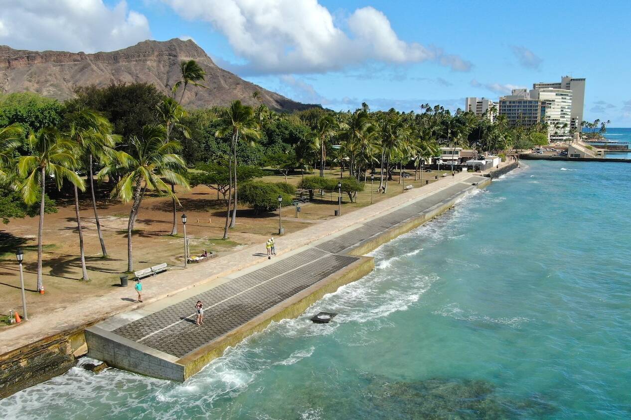
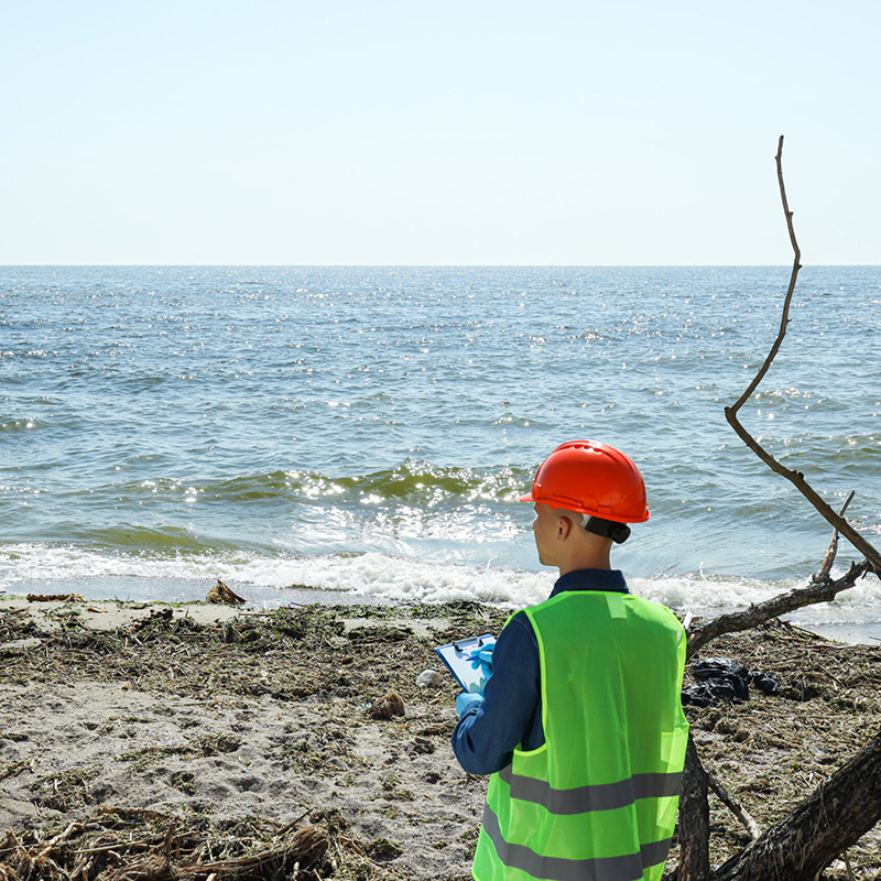
In centuries past, the kneejerk solutions would have been to harden the shorelines by adding walls and other structures to break waves and armor infrastructure, at the cost of losing the beach. But now, we realize that a critical first step in facing coastal erosion is to monitor beaches over time to gather data. Continuous monitoring provides engineers and environmental experts with insights into the specific threats each beach faces, enabling tailored solutions for protecting coastlines and habitats.
Beach monitoring informs engineers about patterns versus anomalies in unique coastal areas. Through long-term data collection on the ebb and flow of tides, sand displacement, and shoreline retreats, it becomes possible to predict sand movement trends in a particular area and pinpoint vulnerabilities that may not be immediately visible. This is essential for designing site-specific interventions such as beach nourishment or natural barrier restoration. With comprehensive and real-time data, communities can respond proactively, rather than reactively, to coastal threats.
03
Why it matters
Oceanit’s iBeach is a state-of-the-art tool designed to continuously monitor beach health and process valuable data to inform coastal preservation strategies. IBeach ingests footage from high-resolution cameras installed along coastlines. These cameras capture real-time data over days, months, and years, which is then uploaded to the cloud. The images are analyzed by proprietary AI software to detect shoreline changes, seasonal impacts, sea level rise, and extreme weather events.
Unlike traditional survey methods, which require intermittent in-person surveying and can miss critical environmental changes, iBeach offers continuous, automated data collection and processing at a fraction of the cost. This enables progressive monitoring, which is essential for understanding and addressing the dynamic nature of coastal erosion. iBeach significantly reduces costs associated with traditional beach surveying and profiling, surpassing previous methods in the coverage area, labor, equipment costs, and reliability.
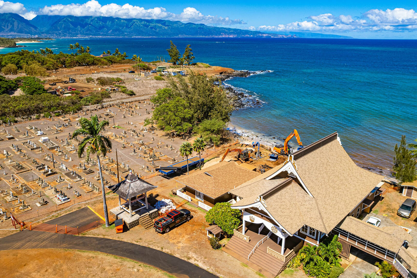
Currently deployed at six locations across Hawaii, including Maui, Kauai, and Oahu, iBeach offers a cost-effective, scalable solution to a growing global problem.