


HANDS for Space Situational Awareness
Tracking debris with a space situational awareness system.
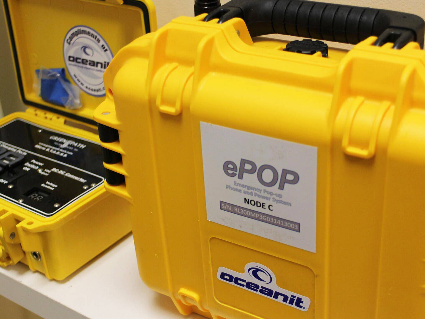
ePoP for Cellular and Internet Connectivity
Connecting internet and cellular networks in emergencies.
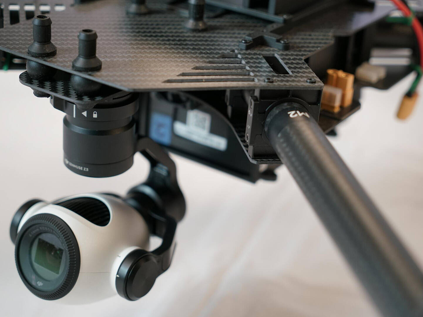
ʻioView for Emergency Relief Assessment
Rapidly assessing disaster relief zones.
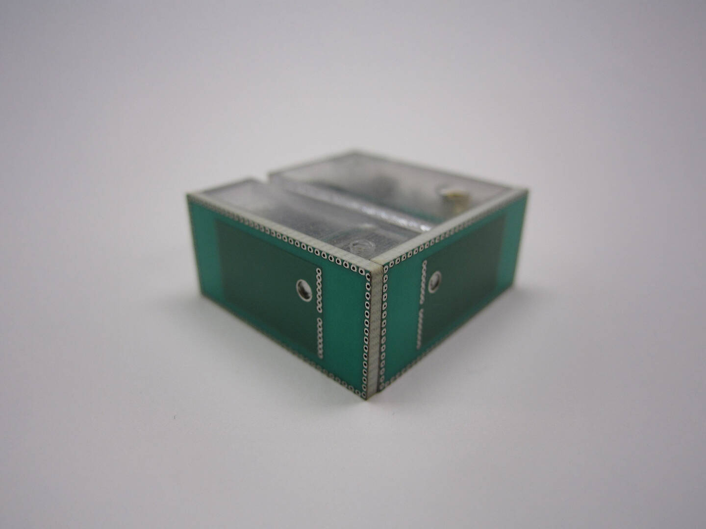
WISPER Wireless Mesh Networking
Enabling remote monitoring, communications, and tracking.
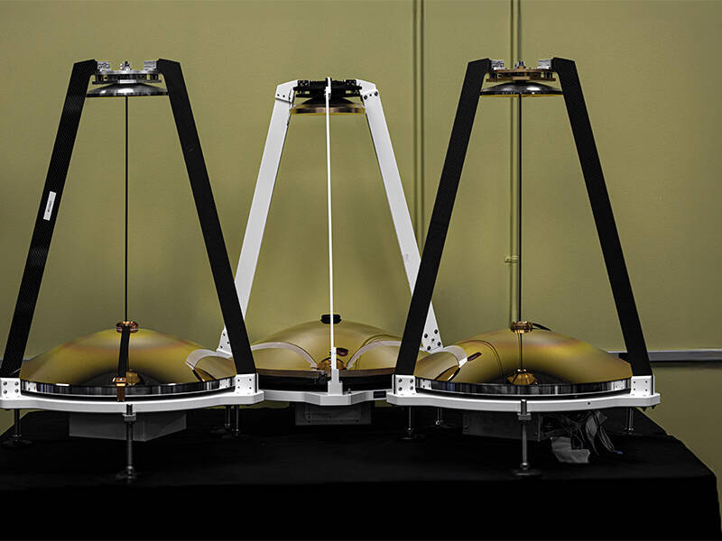
MAMBA Atmospheric Sensor
Continually monitoring atmospheric conditions for superior weather awareness.
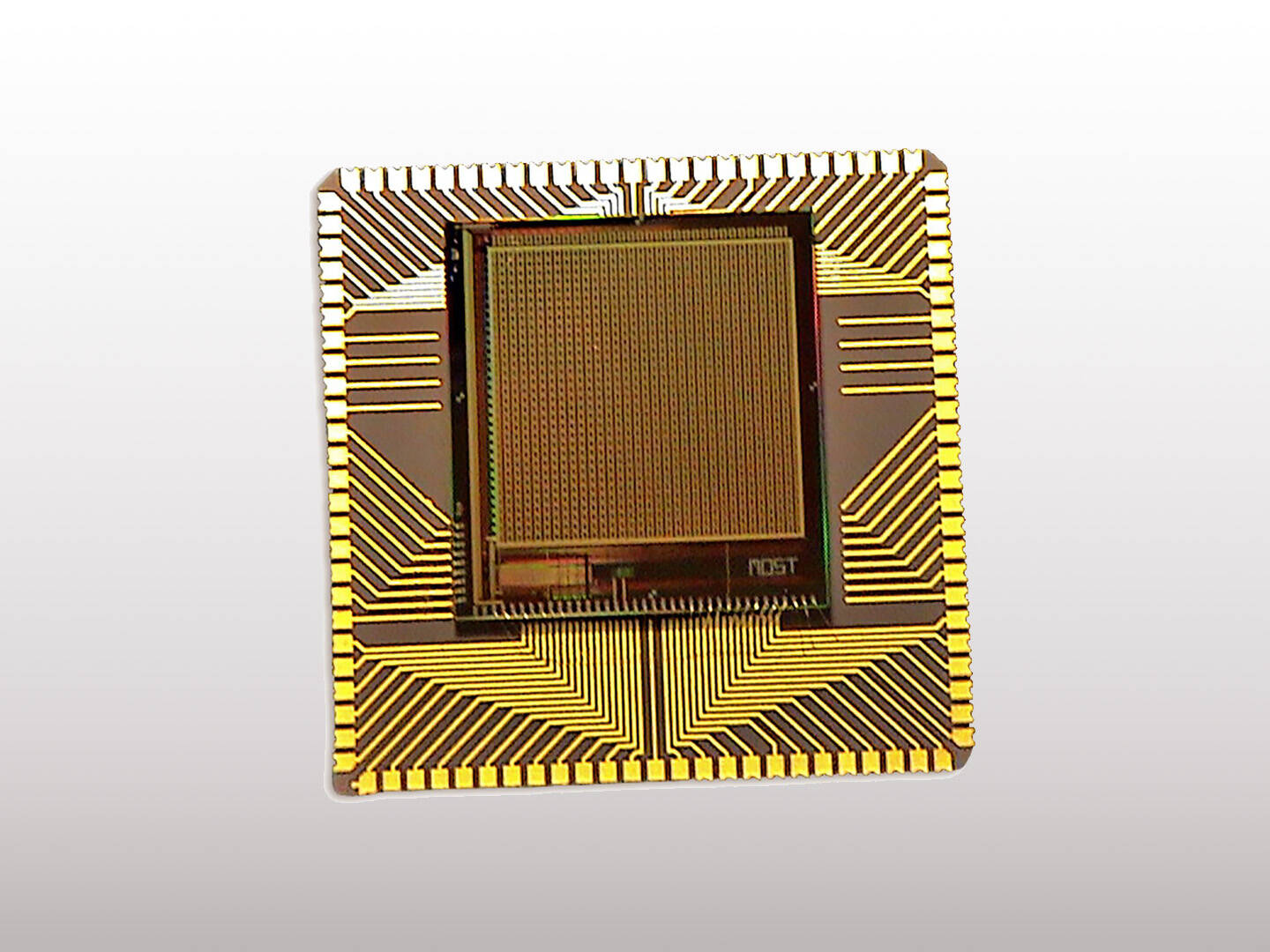
FLASH Sensors for Assessment of Hostile Fire
Assessing and fingerprinting hostile fire in the field.

MERCI AI Software
Allowing emergency responders to make damage assessments.
Get in touch
Contact us to learn more about our products, meet our experts, or explore how we can partner.